Aschüel cross-country ski trail St. Antönien


Show all 5 images

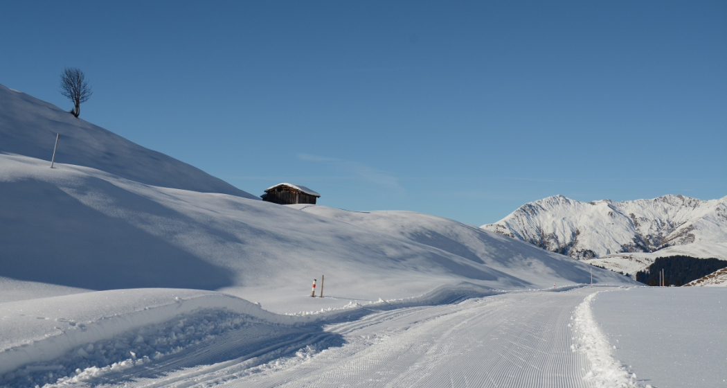
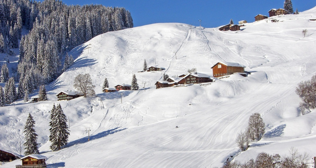
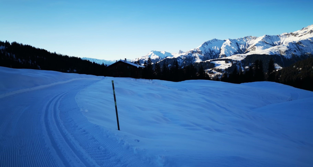
On Aschüel above St. Antönien Platz you can make wonderful rounds.
Details
Description
After the start at the elk hut, the small warm-up lap follows before the track leads towards Litzigada. Above the Rütlandstrasse follows another round via Dortlisgada back to the Soppasee and then up over Rütland and back to the Rütlandrunde. Then the track leads towards Spitzi and via Dortlisgada back to the start. Warm up and relax on the cosy sun terrace of the Elchhütte.
small loop: 3.5 km
long loop: 4 km (loop towards Spitzi)
Geheimtipp
By car to P21 Litzigade, paying
Sicherheitshinweis
In case of avalanche danger, the trail will be closed.
Current information at
trails/trails/facilities
Directions
Public Transport
Take the Rhaetian Railway RhB to Schiers or Küblis and the PostBus to Pany or St. Antönien (timetable field 90.218 or 90.222).
Anreise Information
Via the A13 and the B28 to Küblis, then follow the road to St. Antönien, Bärglistrasse to Aschüel
Parken
In St. Antönien all parking spaces are subject to a charge. In the parking lots you can pay with cash, Parkingpay app, Easy-Park or Twint.
Responsible for this content Prättigau Marketing.
This content has been translated automatically.

This website uses technology and content from the Outdooractive platform.