Wanderung zum Gafiersee
Difficult
13.8 km
5:20 h
1018 mhd
1018 mhd


Show all 5 images

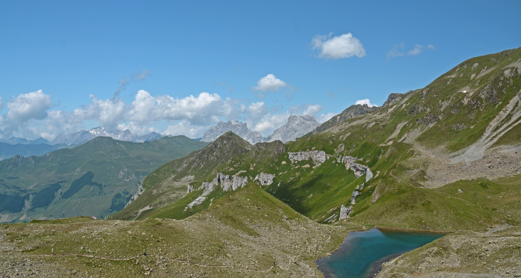
Varied hike to Lake Gafier and summit experience on the St. Antönierjoch.
Best Season
Jan
Feb
Mär
Apr
Mai
Jun
Jul
Aug
Sep
Okt
Nov
Dez
Start
St. Antönien Rüti
Destination
St. Antönien Rüti
Coordinates
46.972777, 9.827947
Details
Description
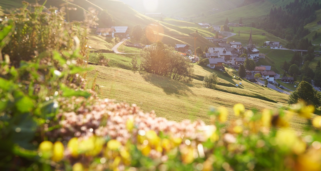
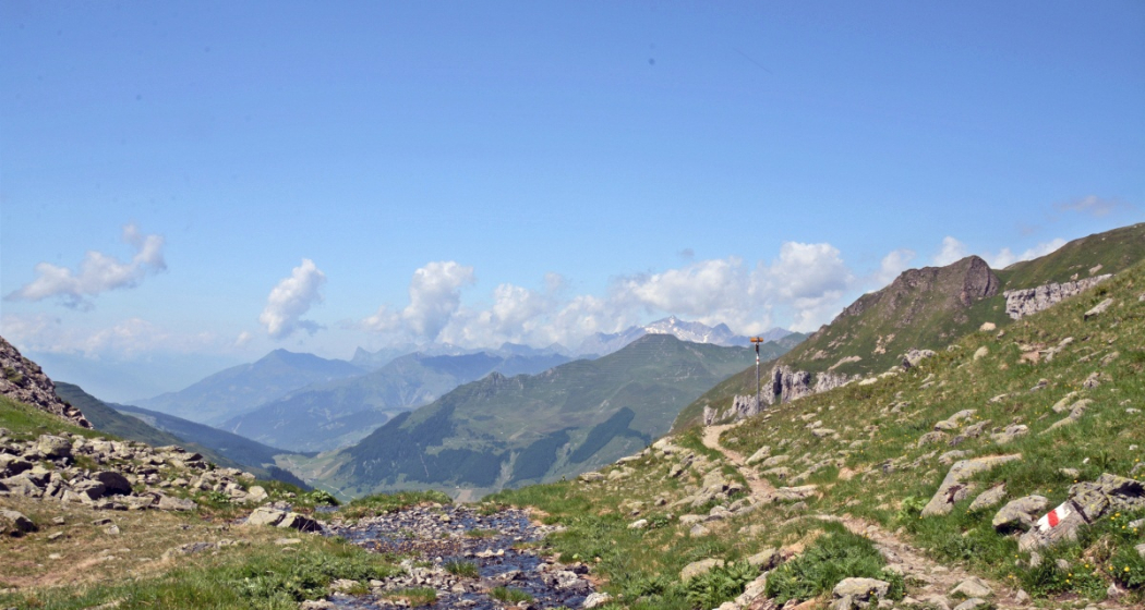
From the Postbus stop or car park 5 St. Antönien-Rüti we turn right at the Büelbrücke. We follow the road through the Rüti and the Engiwald to the Dörfji (old Walser settlement). From there we have a wonderful view of the Schlangenstein, which lies in the middle of the valley floor of Gafien. If we continue through the meadows, we reach Gafien. After a refreshment in the mountain inn Edelweiss we tackle the ascent over the Talegg to the mountain soul Gafiersee. After a wonderful panoramic view from the St. Antönierjoch down through the Alpeltitälli you reach Dörfji and hike back to the starting point.
Ausrüstung
sturdy shoes, food for on the go
Directions
Public Transport
With the Rhätischen Bahn RhB to Schiers or Küblis and by Postbus to St. Antönien. (timetable field 90.214 or 90.222)
Anreise Information
On the A13 and N28 to Küblis, shortly after the roundabout turn left towards Luzein, Pany, St. Antönien.
Parken
In St. Antönien all parking spaces are subject to a charge. The parking lot P5 is located at the Büelbrücke in St. Antönien Rüti.
Responsible for this content Prättigau Tourismus GmbH.
This content has been translated automatically.

This website uses technology and content from the Outdooractive platform.