Event Luzein
Rätikon Trail Days
Show all 4 images

Description
on Friday, Saturday, Sunday
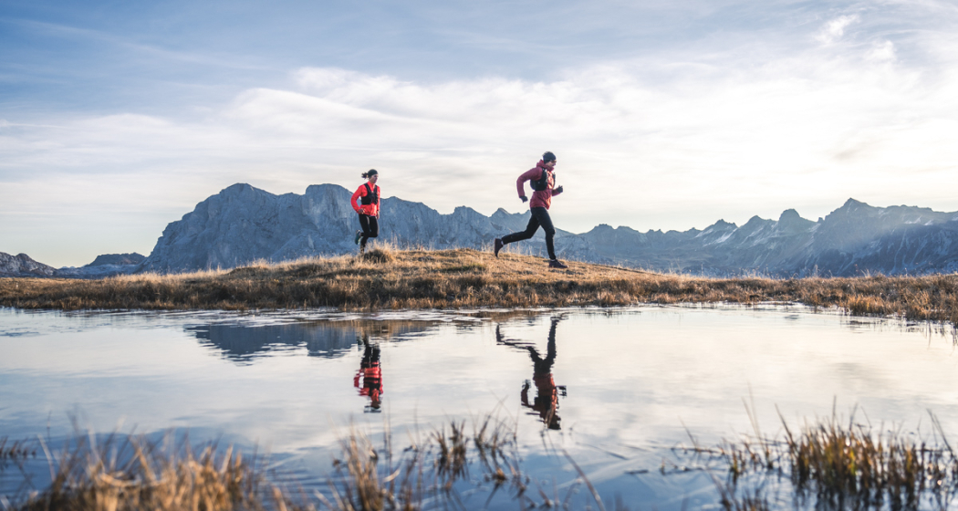
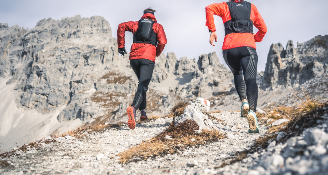
From Madrisa above Klosters, the adventure run leads on paths, mountain paths, scree and rock, as well as a glacier via Austria to Malbun in Liechtenstein. On the route we walk past mountain huts, where we can strengthen ourselves during a rest and fill up with water. You will be accompanied during the 3 days by an experienced mountain guide & trail runner and a local connoisseur. So you are well taken care of and we offer the best possible security.
We spend the night in the Berghaus Sulzfluh in St. Antönien and in the Douglas Hut on Lake Lünersee and enjoy the comfort of a warm shower and fine food.
This traverse offers a true experience! Let yourself be surprised.
PROGRAM
FRIDAY
Meeting point: 9.30 am at the valley station of the Madrisa mountain railways in Klosters
Ascent to Madrisa 1884 m from where we start the run. Today's stage for us on hiking and mountain trails over the Rätschen Joch to the Gafier Joch and more or less following the CH-A border to the Gargäller Joch. Continue past the Riedkopf and through the Tälli to the Berghaus Sulzfluh in Partnun – St. Antönien 1775 m.
Distance 15 km, ascents / descents: +1340 m / -1460 m
SATURDAY
Start and immediately it goes fast uphill! High through the Gemschtobel with a view of the Partnunsee, towards the summit of the Sulzfluh 2817m. On this beautiful mountain peak we enjoy the view before we take the further way down to the Lindau hut in Austria for, where we take a decent rest. Most of the altitude meters have already been completed and we continue on hiking trails through the Sporentobel towards the Lünersee with destination Douglas Hütte
1979m. Distance 19 km, ascents / descents: +1970 m / -1770 m
SUNDAY
The final stage we start early, first briefly along the Lüneree, before it then passes the Totalp hut, through scree and rocks to the summit of the Schesaplana 2965 m, the highest point in the Rätikon, goes. A photo at the summit cross with a view down to the glacier must be here. Now the further way leads down to and briefly over the Brandner Glacier and back to Swiss soil. Past the Salarueljoch and over the Grossjoch we reach the Liechtensteiner Höhenweg and over it to the Pfälzerhütte. Here we will probably be very happy about a short break and a refreshing drink before we start the last kilometers to Malbun in the village. Here a fine pasta awaits us to replenish the empty stores. The last downhill altitude meters could be saved by using the Sareis chairlift.
Distance 22 km, ascents / descents: +1860 m / -2240 m (1840 m Option chairlift)
Total dates
Distance: 56 km Ascents / descents: +5170 m / -5470 m Highest point: 2965 m Lowest point: 1600 m
Requirement
Condition for up to 20 km and up to +/- 2000 m per day. (Jogging on the flat passages and downhill, marching briskly in the steep). Each stage can be shortened if necessary.
Partner
Prättigau
Nutriathletic
Salomon
Better You
Madrisa Bergbahnen
Malbun
Map
Responsible for this content Prättigau Tourismus GmbH.
This content has been translated automatically.

This website uses content from Guidle.