Etappe 3: Carschinahütte–St. Antönien, 72 Prättigauer Höhenweg


Show all 14 images

Flocks of sheep guarded by livestock guard dogs: between 20 and 30 July 2024, the flocks of sheep in the area will be Carschinahütte.
Our tip for the following stage of the Prättigauer Höhenweg:
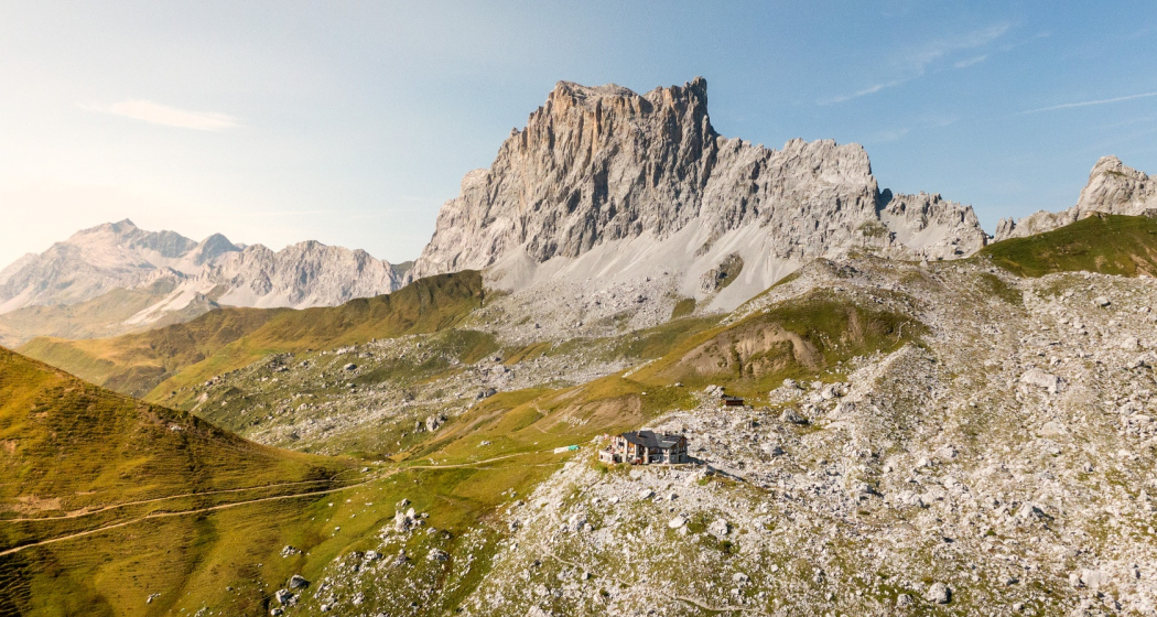
Carschinahütte: Beautiful alpine SAC hut at the foot of the Sulzfluh. Impressive view of the Drusenfluh.
- Partnunsee: Kristalklarer Bergsee. Rowing boats or a refreshing swim in the mountain lake invite you to take a break.
Details
Description
From the Carschinahütte two and a half hour, easy descent to St. Antönien. View to the climbing rocks of the Rätikon. St. Antönien is an originally preserved Walser village and a popular ski touring destination in winter.
Complete tour: 72 Prättigauer Höhenweg
Stage 4: St. Antönien–Klosters
Directions
Directions
Public Transport
Take the Swiss Federal Railways (SBB) to Landquart, then change to the Rhaetian Railway (RhB) in the direction of Davos. Get off in Küblis. Then take the post bus to St. Antönien.
From St. Antönien Rüti you can use the alpine bus .
Anreise Information
Take the A13 to Landquart, continue on the A28 national road to Küblis. Shortly after entering the village, turn left and follow Luzeinerstrasse uphill to Luzein, Pany, St. Antönien.
Parken
In St. Antönien, all parking spaces are subject to a fee. In the car parks, you can pay with cash, the Parkingpay app or Twint. The last parking lot P6 with day ticket is located below the Partnunstafel, about 3.5 km outside of St. Antönien.
Responsible for this content Prättigau Marketing.
This content has been translated automatically.

This website uses technology and content from the Outdooractive platform.

