Praettigau High Trail


Show all 8 images

Imposing limestone cliffs and beautiful alpine pastures shine on this beautiful single trail tour - all along the steep walls of the Rätikon massif.
Details
Description
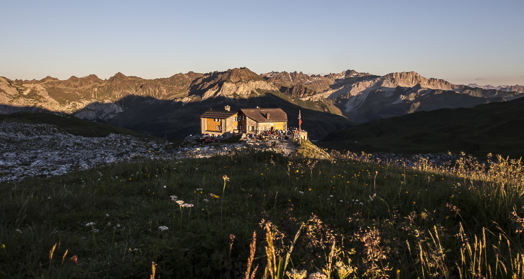
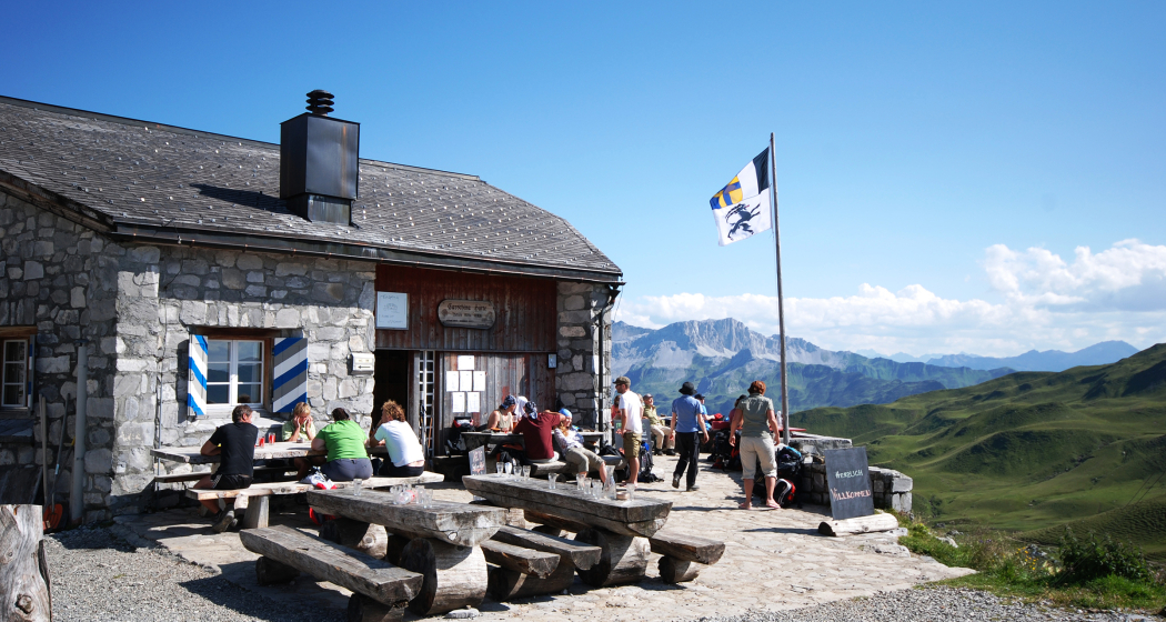
At the beginning, the path leads towards Bärgli, whose -li at the end is somehow not quite fair. Imposing avalanche barriers above the Walser village announce the crisp ascent from afar. From Bärgli it goes, passing the Carschinasee, comfortably more or less along the height curve to the Carschinahütte. Afterwards, the trail alternates between flowy sections, technically extremely demanding passages and a nutritious carrying piece at Golrosa. Therefore, the trail is only suitable for experienced and "adventure bikers". The trail leads smoothly and quickly between gnarled leg pines and over flowering alpine pastures down to the Schesaplana hut. Following the forest road it goes quite fast, but not very spectacular down to Seewis. From Seewis, the hiking trail towards Grüsch, past the ruins of Solaver, can be used as a single trail.
Geheimtipp
Shortcut: Exit at Heidbüel in the direction of Grüscher Älpli and Schuders. From Schuders via Schraubachtobel to Schiers.
Directions
St. Antönien Platz (1420 m) - Junker (1652 m) - Meierhofer Älpli - Bärgli (2137 m) - Carschinasee (2180 m) - Carschinahütte (2236 m) - Golrosa (2128 m) - Wurmchöpf (2052 m) - Schesaplanahütte (1908 m) - Alt Säss (1778 m) - Cavadürli (1143 m) - Patenn (995 m) - Seewis (937 m) - Grüsch (628 m)
Directions
Public Transport
With the Rhaetian Railway RhB to Schiers or Küblis and by post bus to Pany or St. Antönien. (timetable field 90.218 or 90.222)
Anreise Information
Via A13, in Landquart take exit no. 14 (Landquart, Davos, Vereina). Follow the signs for Davos on the A28 national road to Küblis, where you will leave the national road. Follow the signs towards Luzein, Pany, St. Antönien.
Parken
In St. Antönien all parking spaces are subject to a charge. In the parking lots you can pay with cash, Parkingpay app, Easy-Park or Twint.
Responsible for this content Prättigau Marketing.
This content has been translated automatically.

This website uses technology and content from the Outdooractive platform.


